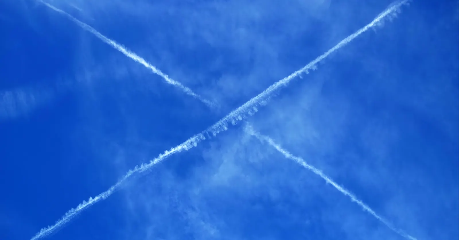
Two routes crossing on a map do not necessarily put the aircraft in the same place at the same time. Assessing a conflict means considering height and timing alongside the horizontal path.
That is the basis of the checking model in Aerlattice. A route consists of timed waypoints, and the calculations examine what happens along the segments between them.
Check the interval, not a single frame
A screenshot can miss an encounter between displayed positions. The checking rules need to examine overlapping time intervals and identify when horizontal and vertical separation are both insufficient.
Restrictions have their own active periods and height bounds. A route crossing a restricted area must be considered together with when the aircraft would reach it. Radio use adds another kind of overlap, with channel requirements and transmission windows that need to be compared.
Return a finding someone can examine
A useful result identifies the affected routes or constraints, the interval and the geometry behind the finding. That gives the reviewer a way to connect the warning to the plan and consider a change.
The assessment depends on the inputs represented in the workspace. Keeping that basis visible is part of making the calculations understandable.